South Downs Way south of Coombe Cross
Introduction
The photograph on this page of South Downs Way south of Coombe Cross by Peter Facey as part of the Geograph project.
The Geograph project started in 2005 with the aim of publishing, organising and preserving representative images for every square kilometre of Great Britain, Ireland and the Isle of Man.

There are currently over 7.5m images from over 14,400 individuals and you can help contribute to the project by visiting https://www.geograph.org.uk
South Downs Way south of Coombe Cross
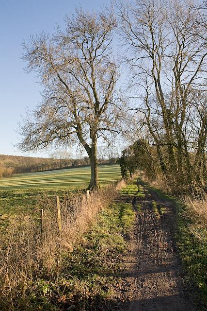
Image: © Peter Facey Taken: 12 Dec 2007
From Coombe Cross going southward the Way begins a long and quite steep ascent to the top of Salt Hill. (OS ref may not be exact)
Images are licensed for reuse under creativecommons.org/licenses/by-sa/2.0
Image Location
Latitude
50.983651
Longitude
-1.051172