Waverley Place
Introduction
The photograph on this page of Waverley Place by Ian Capper as part of the Geograph project.
The Geograph project started in 2005 with the aim of publishing, organising and preserving representative images for every square kilometre of Great Britain, Ireland and the Isle of Man.

There are currently over 7.5m images from over 14,400 individuals and you can help contribute to the project by visiting https://www.geograph.org.uk
Waverley Place
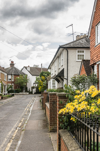
Image: © Ian Capper Taken: 2 May 2019
Short road connecting The Crescent and Church Road (in the background - originally Magazine Lane), dating from the late 19th Century.
Images are licensed for reuse under creativecommons.org/licenses/by-sa/2.0
Image Location


Leaflet Map data © OpenStreetMap
Latitude
51.294839
Longitude
-0.326147