Field track on land between Shanbally Road and Drumanaghan Road
Introduction
The photograph on this page of Field track on land between Shanbally Road and Drumanaghan Road by Eric Jones as part of the Geograph project.
The Geograph project started in 2005 with the aim of publishing, organising and preserving representative images for every square kilometre of Great Britain, Ireland and the Isle of Man.

There are currently over 7.5m images from over 14,400 individuals and you can help contribute to the project by visiting https://www.geograph.org.uk
Field track on land between Shanbally Road and Drumanaghan Road
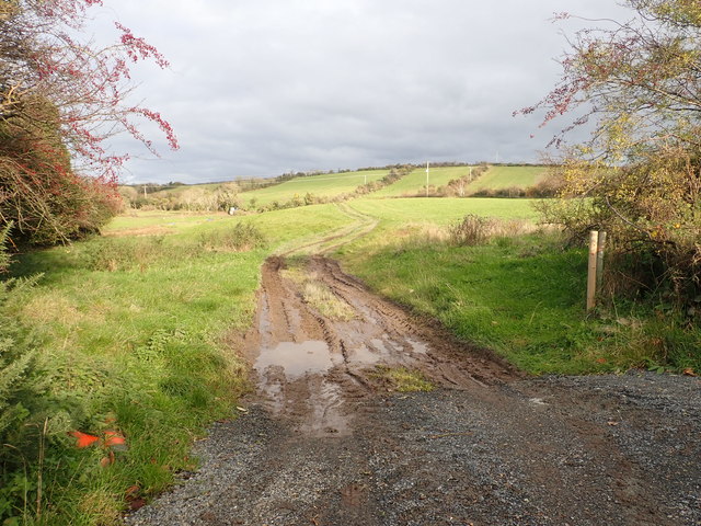
Image: © Eric Jones Taken: 15 Nov 2019
This area is part of the extensive drumlin belt between the Slieve Croob Range and the Mournes.
Images are licensed for reuse under creativecommons.org/licenses/by-sa/2.0
Image Location
Latitude
54.315032
Longitude
-5.879881