Drumlin summit rath above Drumulcaw Road, Srib TD
Introduction
The photograph on this page of Drumlin summit rath above Drumulcaw Road, Srib TD by Eric Jones as part of the Geograph project.
The Geograph project started in 2005 with the aim of publishing, organising and preserving representative images for every square kilometre of Great Britain, Ireland and the Isle of Man.

There are currently over 7.5m images from over 14,400 individuals and you can help contribute to the project by visiting https://www.geograph.org.uk
Drumlin summit rath above Drumulcaw Road, Srib TD
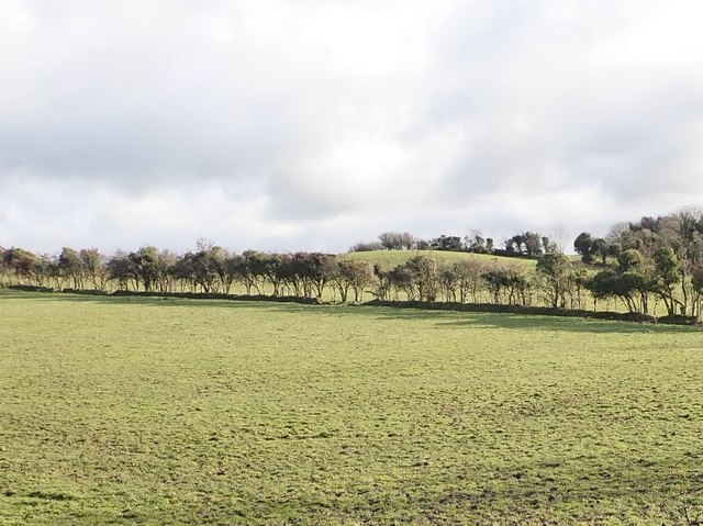
Image: © Eric Jones Taken: 15 Nov 2019
The rath is known locally as Cusack's Fort. The image was taken from the Drumulcaw Road. https://apps.communities-ni.gov.uk/NISMR-PUBLIC/docs/DOW/DOW_036/DOW_036_012/Public/SM7-DOW-036-012.pdf
Images are licensed for reuse under creativecommons.org/licenses/by-sa/2.0
Image Location
Latitude
54.319572
Longitude
-5.882568