Old reservoir fencing by the road to Carmunnock
Introduction
The photograph on this page of Old reservoir fencing by the road to Carmunnock by Gordon Brown as part of the Geograph project.
The Geograph project started in 2005 with the aim of publishing, organising and preserving representative images for every square kilometre of Great Britain, Ireland and the Isle of Man.

There are currently over 7.5m images from over 14,400 individuals and you can help contribute to the project by visiting https://www.geograph.org.uk
Old reservoir fencing by the road to Carmunnock
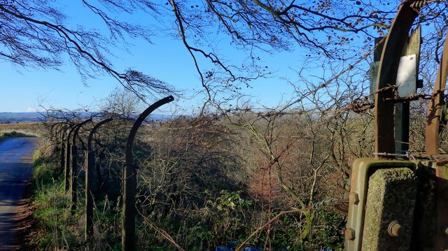
Image: © Gordon Brown Taken: 14 Nov 2019
The almost illegible sign says that this was a Strathclyde Regional Council 'Reservoir Area'. The 1925 1" OS map marks this as a "Renfrew CCWW" site (Renfrew County Council Water Works). Now, there is little or no water and the area is covered in self-seeded trees and undergrowth. But the fencing style marks it out immediately as a former reservoir!
Images are licensed for reuse under creativecommons.org/licenses/by-sa/2.0
Image Location
Latitude
55.78891
Longitude
-4.215961