Bubbenhall, Malt Shovel
Introduction
The photograph on this page of Bubbenhall, Malt Shovel by Mike Faherty as part of the Geograph project.
The Geograph project started in 2005 with the aim of publishing, organising and preserving representative images for every square kilometre of Great Britain, Ireland and the Isle of Man.

There are currently over 7.5m images from over 14,400 individuals and you can help contribute to the project by visiting https://www.geograph.org.uk
Bubbenhall, Malt Shovel
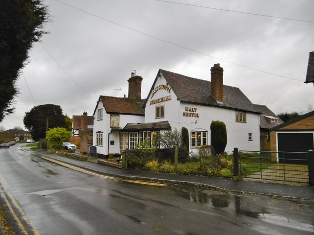
Image: © Mike Faherty Taken: 15 Nov 2019
One of two public houses in the village. The Malt Shovel, on Lower End, is listed in the Good Beer Guide, and by Historic England (Grade II), for its C17 origins to the left. Internally, two central counters, with lounge on three sides, and public bar with dart board on the fourth. Cask ales on offer at my visit: Church End Fallen Angel, Courage Directors, Greene King Abbot. There is a beer garden at the back. https://historicengland.org.uk/listing/the-list/list-entry/1035231
Images are licensed for reuse under creativecommons.org/licenses/by-sa/2.0
Image Location
Latitude
52.349651
Longitude
-1.470125