Flooding on Whalebone Lane
Introduction
The photograph on this page of Flooding on Whalebone Lane by Jonathan Thacker as part of the Geograph project.
The Geograph project started in 2005 with the aim of publishing, organising and preserving representative images for every square kilometre of Great Britain, Ireland and the Isle of Man.

There are currently over 7.5m images from over 14,400 individuals and you can help contribute to the project by visiting https://www.geograph.org.uk
Flooding on Whalebone Lane
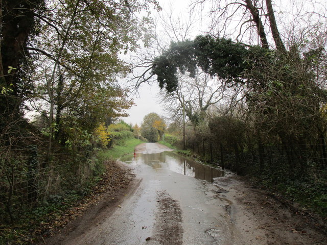
Image: © Jonathan Thacker Taken: 16 Nov 2019
Heavy rain over an extended period has led to widespread flooding of which this is a very minor example.
Images are licensed for reuse under creativecommons.org/licenses/by-sa/2.0
Image Location
Latitude
52.878965
Longitude
-0.619385