Thorncroft Cottage Stable
Introduction
The photograph on this page of Thorncroft Cottage Stable by Ian Capper as part of the Geograph project.
The Geograph project started in 2005 with the aim of publishing, organising and preserving representative images for every square kilometre of Great Britain, Ireland and the Isle of Man.

There are currently over 7.5m images from over 14,400 individuals and you can help contribute to the project by visiting https://www.geograph.org.uk
Thorncroft Cottage Stable
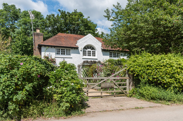
Image: © Ian Capper Taken: 11 Jul 2019
House in the grounds of Thorncroft Manor, marked on older maps as Thorncroft Stable Cottage.
Images are licensed for reuse under creativecommons.org/licenses/by-sa/2.0
Image Location
Latitude
51.289507
Longitude
-0.331203