Ley Farm
Introduction
The photograph on this page of Ley Farm by Derek Harper as part of the Geograph project.
The Geograph project started in 2005 with the aim of publishing, organising and preserving representative images for every square kilometre of Great Britain, Ireland and the Isle of Man.

There are currently over 7.5m images from over 14,400 individuals and you can help contribute to the project by visiting https://www.geograph.org.uk
Ley Farm
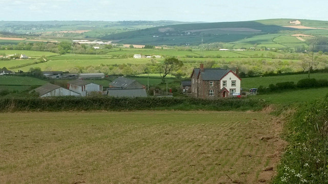
Image: © Derek Harper Taken: 4 May 2019
The sun obstinately refused to shine on the farm, though I waited for several minutes here. Other photos from here were more successful; Image], for instance. In the distance is the Taw valley.
Images are licensed for reuse under creativecommons.org/licenses/by-sa/2.0
Image Location
Latitude
51.000673
Longitude
-4.052323