Sunmead Close
Introduction
The photograph on this page of Sunmead Close by Ian Capper as part of the Geograph project.
The Geograph project started in 2005 with the aim of publishing, organising and preserving representative images for every square kilometre of Great Britain, Ireland and the Isle of Man.

There are currently over 7.5m images from over 14,400 individuals and you can help contribute to the project by visiting https://www.geograph.org.uk
Sunmead Close
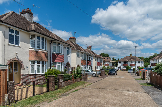
Image: © Ian Capper Taken: 11 Jul 2019
1930s housing built on the land of Sunmead House, demolished in 1935.
Images are licensed for reuse under creativecommons.org/licenses/by-sa/2.0
Image Location
Latitude
51.292294
Longitude
-0.338144