Path near Gravetye Manor
Introduction
The photograph on this page of Path near Gravetye Manor by Robin Webster as part of the Geograph project.
The Geograph project started in 2005 with the aim of publishing, organising and preserving representative images for every square kilometre of Great Britain, Ireland and the Isle of Man.

There are currently over 7.5m images from over 14,400 individuals and you can help contribute to the project by visiting https://www.geograph.org.uk
Path near Gravetye Manor
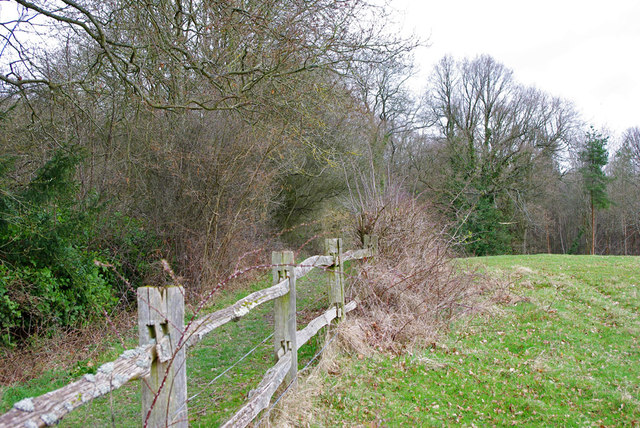
Image: © Robin Webster Taken: 27 Mar 2010
A public footpath runs on the other side of the fence, from West Hoathly to Kingscote station.
Images are licensed for reuse under creativecommons.org/licenses/by-sa/2.0
Image Location
Latitude
51.089756
Longitude
-0.055162