The War Stone
Introduction
The photograph on this page of The War Stone by Philip Halling as part of the Geograph project.
The Geograph project started in 2005 with the aim of publishing, organising and preserving representative images for every square kilometre of Great Britain, Ireland and the Isle of Man.

There are currently over 7.5m images from over 14,400 individuals and you can help contribute to the project by visiting https://www.geograph.org.uk
The War Stone
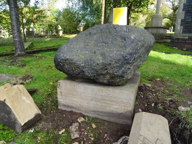
Image: © Philip Halling Taken: 19 Oct 2019
This erratic boulder stone has been placed on a plinth beside Warstone Lane and Warstone Lane Cemetery. The inscription on the plinth reads: "The War Stone - This felsite boulder was deposited near here by a glacier during the Ice Age; being at one time used as a parish boundary mark, it was known as the Hoar Stone of which the modern War stone is a corruption."
Images are licensed for reuse under creativecommons.org/licenses/by-sa/2.0
Image Location
Latitude
52.487186
Longitude
-1.914248