The William Henry Smith School, Boothroyd Lane, Rastrick
Introduction
The photograph on this page of The William Henry Smith School, Boothroyd Lane, Rastrick by Humphrey Bolton as part of the Geograph project.
The Geograph project started in 2005 with the aim of publishing, organising and preserving representative images for every square kilometre of Great Britain, Ireland and the Isle of Man.

There are currently over 7.5m images from over 14,400 individuals and you can help contribute to the project by visiting https://www.geograph.org.uk
The William Henry Smith School, Boothroyd Lane, Rastrick
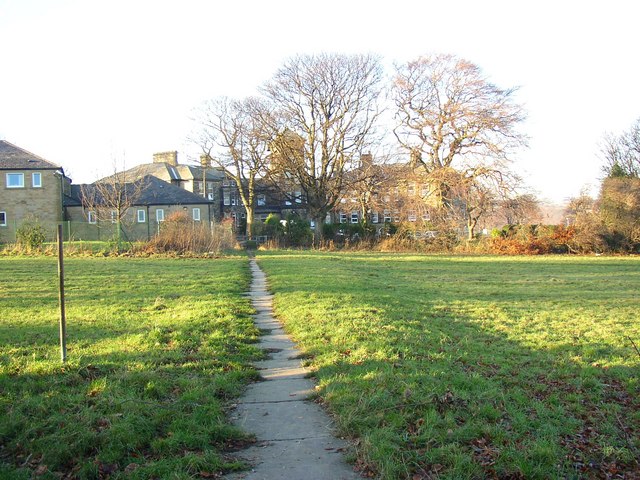
Image: © Humphrey Bolton Taken: 11 Dec 2007
This started as a farm called Boothroyd, and a large house was built in the mid-Victorian period. It became a hospital for wounded soldiers in 1915, then an orphanage. It is now a private boarding school, with several new buildings. The path came across the fields from Field Lane, and is mostly lost in the housing estate, but this last part across Upper Brighouse Close survives.
Images are licensed for reuse under creativecommons.org/licenses/by-sa/2.0
Image Location
Latitude
53.692487
Longitude
-1.804607