Footpath to Boothroyd, Rastrick
Introduction
The photograph on this page of Footpath to Boothroyd, Rastrick by Humphrey Bolton as part of the Geograph project.
The Geograph project started in 2005 with the aim of publishing, organising and preserving representative images for every square kilometre of Great Britain, Ireland and the Isle of Man.

There are currently over 7.5m images from over 14,400 individuals and you can help contribute to the project by visiting https://www.geograph.org.uk
Footpath to Boothroyd, Rastrick
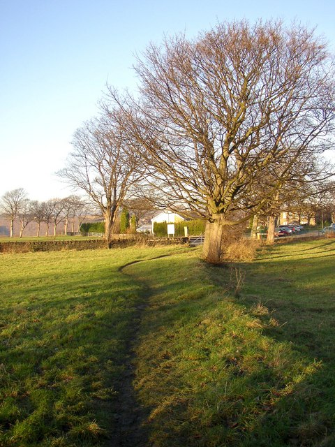
Image: © Humphrey Bolton Taken: 11 Dec 2007
This is indicated on the 1824 township map and later 6in map as part of a route from Nunnery to Boothroyd. It is now a public footpath from Sherburn Road to Boothroyd Lane.
Images are licensed for reuse under creativecommons.org/licenses/by-sa/2.0
Image Location
Latitude
53.691588
Longitude
-1.804612