Kingsbridge Estuary
Introduction
The photograph on this page of Kingsbridge Estuary by Derek Harper as part of the Geograph project.
The Geograph project started in 2005 with the aim of publishing, organising and preserving representative images for every square kilometre of Great Britain, Ireland and the Isle of Man.

There are currently over 7.5m images from over 14,400 individuals and you can help contribute to the project by visiting https://www.geograph.org.uk
Kingsbridge Estuary
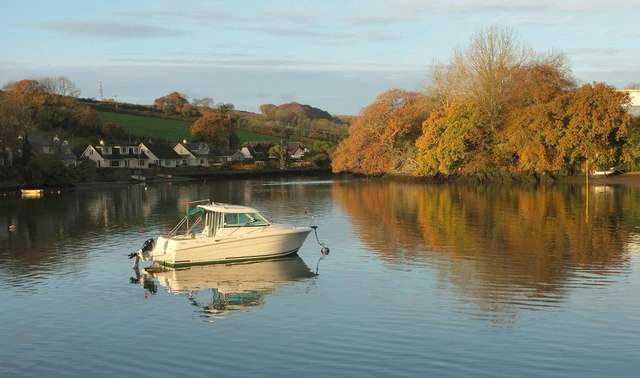
Image: © Derek Harper Taken: 13 Nov 2019
Seen where the inlet below Tacketwood Bridge joins the main estuary, with colourful trees at the confluence. The houses on the left are on a cul-de-sac that seems to be named Tacket Wood, although that doesn't appear on maps.
Images are licensed for reuse under creativecommons.org/licenses/by-sa/2.0
Image Location
Latitude
50.278775
Longitude
-3.776743