The road down to Comb Bridges
Introduction
The photograph on this page of The road down to Comb Bridges by Robert Graham as part of the Geograph project.
The Geograph project started in 2005 with the aim of publishing, organising and preserving representative images for every square kilometre of Great Britain, Ireland and the Isle of Man.

There are currently over 7.5m images from over 14,400 individuals and you can help contribute to the project by visiting https://www.geograph.org.uk
The road down to Comb Bridges
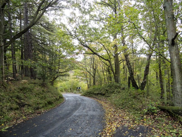
Image: © Robert Graham Taken: 21 Oct 2019
Looking east down the road from Muggleswick to Healeyfield. This is a very steep section going down into the bottom of the valley of the Hisehope Burn. The warning sign ahead is for a fearsome hairpin bend.
Images are licensed for reuse under creativecommons.org/licenses/by-sa/2.0
Image Location
Latitude
54.833993
Longitude
-1.908896