Rickerscote Drain on Radford Meadows near Stafford
Introduction
The photograph on this page of Rickerscote Drain on Radford Meadows near Stafford by Roger Kidd as part of the Geograph project.
The Geograph project started in 2005 with the aim of publishing, organising and preserving representative images for every square kilometre of Great Britain, Ireland and the Isle of Man.

There are currently over 7.5m images from over 14,400 individuals and you can help contribute to the project by visiting https://www.geograph.org.uk
Rickerscote Drain on Radford Meadows near Stafford
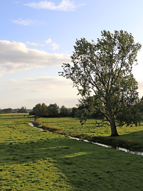
Image: © Roger Kidd Taken: 17 Sep 2019
Evening sunlight shines across Rickerscote Drain and the flood plain of the River Penk south of Radford Bridge. The River Penk is off to the left. Image]
Images are licensed for reuse under creativecommons.org/licenses/by-sa/2.0
Image Location
Latitude
52.791841
Longitude
-2.093975