The Meadows, Maidstone Road
Introduction
The photograph on this page of The Meadows, Maidstone Road by John Baker as part of the Geograph project.
The Geograph project started in 2005 with the aim of publishing, organising and preserving representative images for every square kilometre of Great Britain, Ireland and the Isle of Man.

There are currently over 7.5m images from over 14,400 individuals and you can help contribute to the project by visiting https://www.geograph.org.uk
The Meadows, Maidstone Road
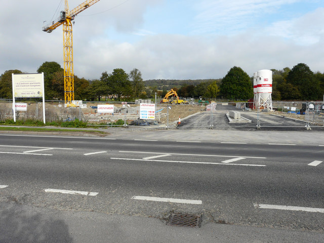
Image: © John Baker Taken: 20 Oct 2019
Planning permission has been granted by Ashford Borough Council under application number 14/01486/AS for a “hybrid planning application for the development of land at Maidstone Road, comprising: full planning permission for the erection of a 51 unit age-restricted affordable housing scheme to include 5 age-restricted bungalows together with the creation of a new pedestrian and vehicular access point linking Maidstone Road through to the Arthur Baker Playing Fields; and outline planning permission (matters to be reserved: appearance, landscaping, layout and scale) for the erection of market sale housing units on the remainder of the site”. These views of Image and Image were taken in February 2019.
Images are licensed for reuse under creativecommons.org/licenses/by-sa/2.0
Image Location
Latitude
51.205931
Longitude
0.797431