Staffordshire and Worcestershire Canal near Stafford
Introduction
The photograph on this page of Staffordshire and Worcestershire Canal near Stafford by Roger Kidd as part of the Geograph project.
The Geograph project started in 2005 with the aim of publishing, organising and preserving representative images for every square kilometre of Great Britain, Ireland and the Isle of Man.

There are currently over 7.5m images from over 14,400 individuals and you can help contribute to the project by visiting https://www.geograph.org.uk
Staffordshire and Worcestershire Canal near Stafford
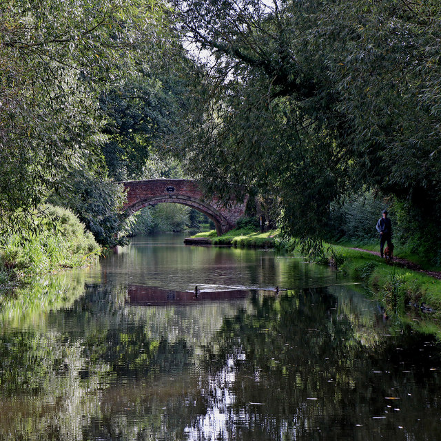
Image: © Roger Kidd Taken: 17 Sep 2019
This is the Staffordshire and Worcestershire Canal near Weeping Cross, Stafford. Ahead is Baswick Bridge, No 100. On Victorian maps and since, this is listed as Baswich Bridge (near the corresponding Baswich Holy Trinity Church) so the spelling on the bridge plate may just be an error. Even Berkswich would be more appropriate.
Images are licensed for reuse under creativecommons.org/licenses/by-sa/2.0
Image Location


Leaflet Map data © OpenStreetMap
Latitude
52.798678
Longitude
-2.087464