Open ground at High Handenhold
Introduction
The photograph on this page of Open ground at High Handenhold by Trevor Littlewood as part of the Geograph project.
The Geograph project started in 2005 with the aim of publishing, organising and preserving representative images for every square kilometre of Great Britain, Ireland and the Isle of Man.

There are currently over 7.5m images from over 14,400 individuals and you can help contribute to the project by visiting https://www.geograph.org.uk
Open ground at High Handenhold
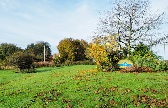
Image: © Trevor Littlewood Taken: 9 Nov 2019
An area of grassed, landscaped ground with deciduous trees beside the small County Durham settlement of High Handenhold. The blue and yellow naming plate is in a style widely in use in the county.
Images are licensed for reuse under creativecommons.org/licenses/by-sa/2.0
Image Location
Latitude
54.872467
Longitude
-1.630499