Hen reilffordd Pontycymer / Pontycymer former railway
Introduction
The photograph on this page of Hen reilffordd Pontycymer / Pontycymer former railway by Alan Richards as part of the Geograph project.
The Geograph project started in 2005 with the aim of publishing, organising and preserving representative images for every square kilometre of Great Britain, Ireland and the Isle of Man.

There are currently over 7.5m images from over 14,400 individuals and you can help contribute to the project by visiting https://www.geograph.org.uk
Hen reilffordd Pontycymer / Pontycymer former railway
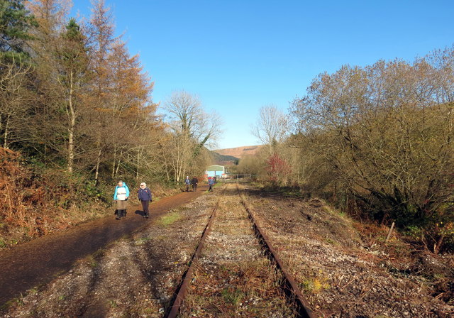
Image: © Alan Richards Taken: 10 Nov 2019
Cerddwyr yn dilyn llwybr wrth ymyl hen reilffordd ym Mhontycymer. Walkers following a path alongside the former railway at Pontycymer (trans. bridge of the [river] confluence).
Images are licensed for reuse under creativecommons.org/licenses/by-sa/2.0
Image Location
Latitude
51.608119
Longitude
-3.584393