View through the bullrushes
Introduction
The photograph on this page of View through the bullrushes by John Winder as part of the Geograph project.
The Geograph project started in 2005 with the aim of publishing, organising and preserving representative images for every square kilometre of Great Britain, Ireland and the Isle of Man.

There are currently over 7.5m images from over 14,400 individuals and you can help contribute to the project by visiting https://www.geograph.org.uk
View through the bullrushes
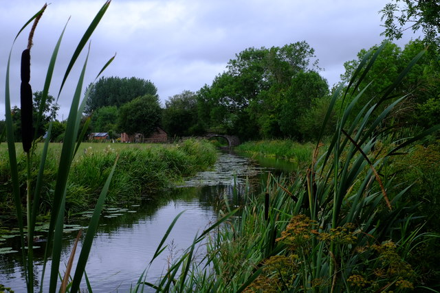
Image: © John Winder Taken: 28 Jul 2019
Looking back at the current limit of navigation on the Montgomery Canal. The section pictured here is actually in water for another few hundred yards, having been restored and refilled recently, but is not yet open to navigation. See John Haynes' picture Image], taken nearby in 2007 during restoration work.
Images are licensed for reuse under creativecommons.org/licenses/by-sa/2.0
Image Location
Latitude
52.814703
Longitude
-3.033663