Security fencing off Briggs Drive
Introduction
The photograph on this page of Security fencing off Briggs Drive by Evelyn Simak as part of the Geograph project.
The Geograph project started in 2005 with the aim of publishing, organising and preserving representative images for every square kilometre of Great Britain, Ireland and the Isle of Man.

There are currently over 7.5m images from over 14,400 individuals and you can help contribute to the project by visiting https://www.geograph.org.uk
Security fencing off Briggs Drive
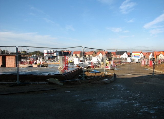
Image: © Evelyn Simak Taken: 9 Nov 2019
Construction work is still ongoing here. The houses in the background form part of the Mulberry Park housing development which is separated from the Clements Gate estate by a spacious green known as the Mulberry Village Green. Clements Gate > http://www.geograph.org.uk/photo/5599230 is a new housing development by David Wilson Homes, described as an exclusive range of three, four and five-bedroom homes with unique architectural details and distinctive exteriors. The development spreads out over former cropfields adjacent (in the north) to the Old Mill medical practice > http://www.geograph.org.uk/photo/5599211. The first houses were ready for occupation in October 2018. Due to the very high water table the foundations for the houses required piling.
Images are licensed for reuse under creativecommons.org/licenses/by-sa/2.0
Image Location
Latitude
52.577664
Longitude
1.336457