Semi-detached houses, All Saints Road, Warwick
Introduction
The photograph on this page of Semi-detached houses, All Saints Road, Warwick by Robin Stott as part of the Geograph project.
The Geograph project started in 2005 with the aim of publishing, organising and preserving representative images for every square kilometre of Great Britain, Ireland and the Isle of Man.

There are currently over 7.5m images from over 14,400 individuals and you can help contribute to the project by visiting https://www.geograph.org.uk
Semi-detached houses, All Saints Road, Warwick
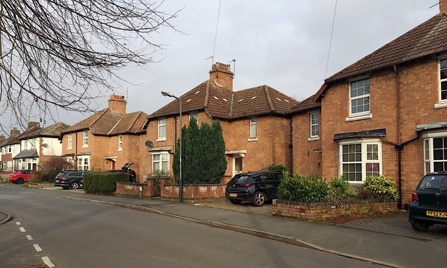
Image: © Robin Stott Taken: 12 Dec 2018
Similar houses are shown in outline on a map of 1938 Image This part of Emscote began to develop off Charles Street and the northern length of All Saints Road, as shown on a map of 1889.
Images are licensed for reuse under creativecommons.org/licenses/by-sa/2.0
Image Location
Latitude
52.290442
Longitude
-1.56745