Dorincourt
Introduction
The photograph on this page of Dorincourt by Ian Capper as part of the Geograph project.
The Geograph project started in 2005 with the aim of publishing, organising and preserving representative images for every square kilometre of Great Britain, Ireland and the Isle of Man.

There are currently over 7.5m images from over 14,400 individuals and you can help contribute to the project by visiting https://www.geograph.org.uk
Dorincourt
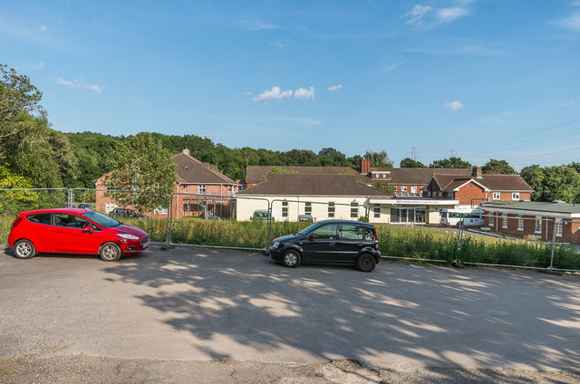
Image: © Ian Capper Taken: 16 Jul 2019
Independent living quarters for QEF (formally Queen Elizabeth's Foundation for Disabled People), a charity that works with children and adults with physical and learning disabilities.
Images are licensed for reuse under creativecommons.org/licenses/by-sa/2.0
Image Location
Latitude
51.314177
Longitude
-0.346006