Woods Row / Wheaters Fold, off Town Street, Stanningley
Introduction
The photograph on this page of Woods Row / Wheaters Fold, off Town Street, Stanningley by Stephen Craven as part of the Geograph project.
The Geograph project started in 2005 with the aim of publishing, organising and preserving representative images for every square kilometre of Great Britain, Ireland and the Isle of Man.

There are currently over 7.5m images from over 14,400 individuals and you can help contribute to the project by visiting https://www.geograph.org.uk
Woods Row / Wheaters Fold, off Town Street, Stanningley
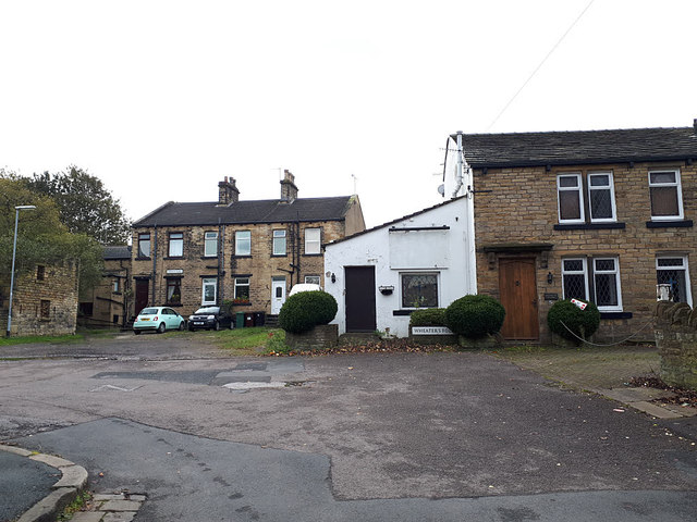
Image: © Stephen Craven Taken: 3 Nov 2019
Old buildings set back just off the main street. The 1908 map shows that the front of the building to the right (Wheaters Fold) was on the line of the "Municipal, Co. [Constituency?], Parliamentary and Union boundary". The boroughs concerned would have been Bramley (this side) and Pudsey. Both are now in the unitary authority of Leeds. The Union boundary would be the Poor Law Unions of Bramley and North Bierley (including Pudsey) which no longer exist. The Parliamentary constituency between Leeds West and Pudsey now runs along the railway line behind the further houses.
Images are licensed for reuse under creativecommons.org/licenses/by-sa/2.0
Image Location
Latitude
53.805874
Longitude
-1.663927