Eddisbury Hill Farm above Delamere
Introduction
The photograph on this page of Eddisbury Hill Farm above Delamere by David Crocker as part of the Geograph project.
The Geograph project started in 2005 with the aim of publishing, organising and preserving representative images for every square kilometre of Great Britain, Ireland and the Isle of Man.

There are currently over 7.5m images from over 14,400 individuals and you can help contribute to the project by visiting https://www.geograph.org.uk
Eddisbury Hill Farm above Delamere
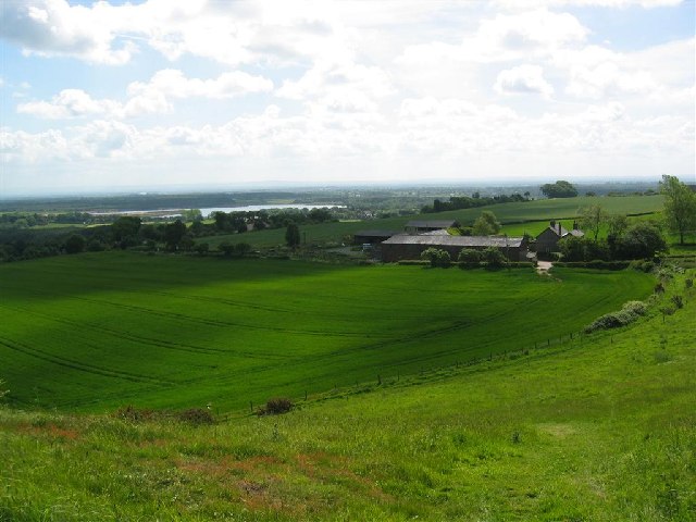
Image: © David Crocker Taken: 31 May 2004
This photo was taken from a footpath on Eddisbury Hill at 9:42am on 31st May, 2004. The direction is south-east and in the distance can be seen the water of Oakmere sand pit.
Images are licensed for reuse under creativecommons.org/licenses/by-sa/2.0
Image Location
Latitude
53.217089
Longitude
-2.666379