Railway with blocked underpass
Introduction
The photograph on this page of Railway with blocked underpass by Stephen Craven as part of the Geograph project.
The Geograph project started in 2005 with the aim of publishing, organising and preserving representative images for every square kilometre of Great Britain, Ireland and the Isle of Man.

There are currently over 7.5m images from over 14,400 individuals and you can help contribute to the project by visiting https://www.geograph.org.uk
Railway with blocked underpass
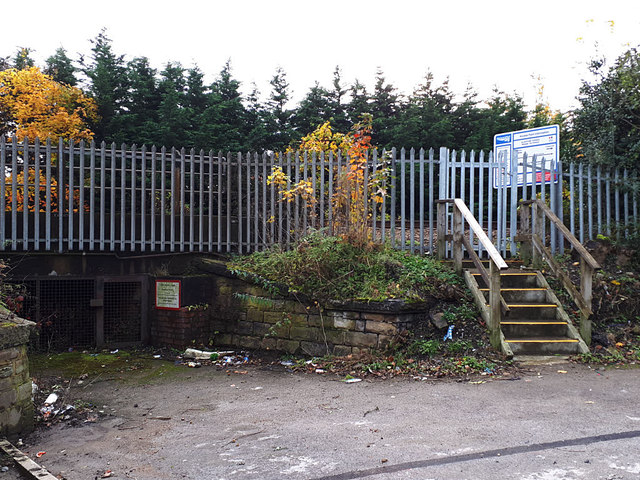
Image: © Stephen Craven Taken: 3 Nov 2019
This is Gladstone Terrace, Stanningley (see Image for a wider view). There used to be an access under the lines here to farmland the other side (where there is now a factory). There is still a Network Rail sign giving it a bridge number. Either it had barely enough headroom for a sheep, or the road level was much lower originally. To the right is a contemporary access gate for Network Rail workers.
Images are licensed for reuse under creativecommons.org/licenses/by-sa/2.0
Image Location
Latitude
53.806562
Longitude
-1.652988