Wem High Street
Introduction
The photograph on this page of Wem High Street by David Weston as part of the Geograph project.
The Geograph project started in 2005 with the aim of publishing, organising and preserving representative images for every square kilometre of Great Britain, Ireland and the Isle of Man.

There are currently over 7.5m images from over 14,400 individuals and you can help contribute to the project by visiting https://www.geograph.org.uk
Wem High Street
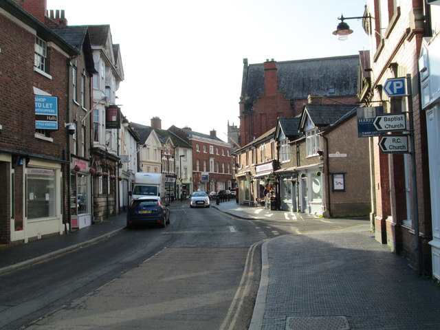
Image: © David Weston Taken: 29 Oct 2019
Looking west along the main road through the town centre. Noble Street is on the right. The tower of St Peter and St Paul's Church can be seen.
Images are licensed for reuse under creativecommons.org/licenses/by-sa/2.0
Image Location
Latitude
52.855379
Longitude
-2.724534