The Kissing Gate
Introduction
The photograph on this page of The Kissing Gate by Peter Church as part of the Geograph project.
The Geograph project started in 2005 with the aim of publishing, organising and preserving representative images for every square kilometre of Great Britain, Ireland and the Isle of Man.

There are currently over 7.5m images from over 14,400 individuals and you can help contribute to the project by visiting https://www.geograph.org.uk
The Kissing Gate
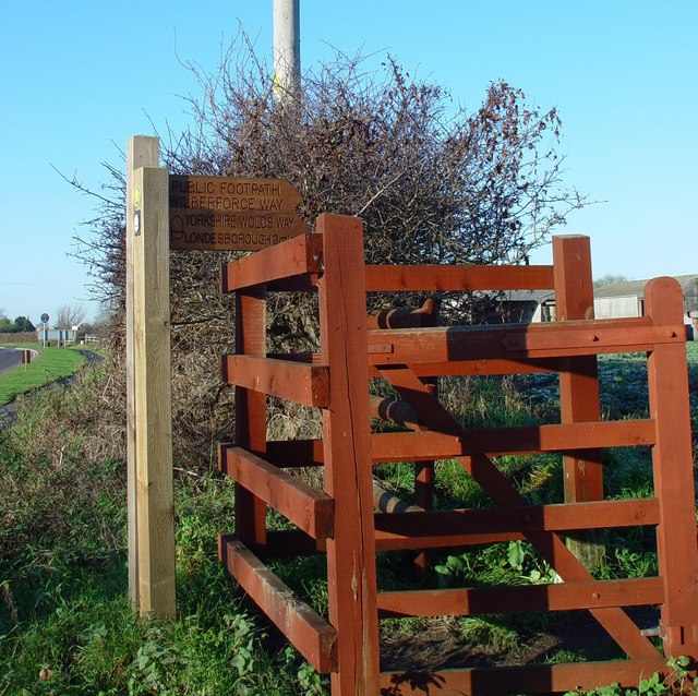
Image: © Peter Church Taken: 11 Dec 2007
The Yorkshire Wolds Way "alternative route" (through Market Weighton) together with the newly defined Wilberforce Way leave York Road (just visible on the left of the photograph) and go north through Weighton Clay Fields. The point of departure is this kissing gate.
Images are licensed for reuse under creativecommons.org/licenses/by-sa/2.0
Image Location
Latitude
53.867986
Longitude
-0.675601