Historical information board near Whitminster War Memorial
Introduction
The photograph on this page of Historical information board near Whitminster War Memorial by Jaggery as part of the Geograph project.
The Geograph project started in 2005 with the aim of publishing, organising and preserving representative images for every square kilometre of Great Britain, Ireland and the Isle of Man.

There are currently over 7.5m images from over 14,400 individuals and you can help contribute to the project by visiting https://www.geograph.org.uk
Historical information board near Whitminster War Memorial
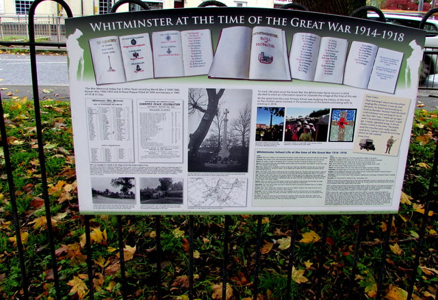
Image: © Jaggery Taken: 3 Nov 2019
The board is titled WHITMINSTER AT THE TIME OF THE GREAT WAR 1914-1918. The Great War is now usually referred to as the First World War or World War I. Whitminster War Memorial https://www.geograph.org.uk/photo/6313195 is behind the camera.
Images are licensed for reuse under creativecommons.org/licenses/by-sa/2.0
Image Location
Latitude
51.770854
Longitude
-2.325014