Inkpen Village
Introduction
The photograph on this page of Inkpen Village by Pam Brophy as part of the Geograph project.
The Geograph project started in 2005 with the aim of publishing, organising and preserving representative images for every square kilometre of Great Britain, Ireland and the Isle of Man.

There are currently over 7.5m images from over 14,400 individuals and you can help contribute to the project by visiting https://www.geograph.org.uk
Inkpen Village
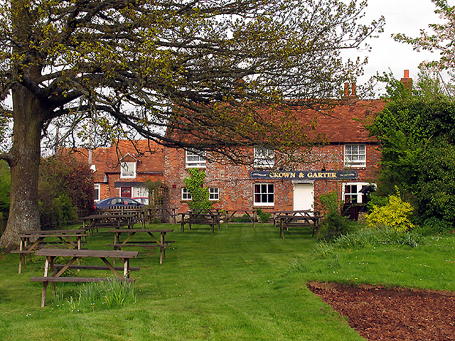
Image: © Pam Brophy Taken: 29 Apr 2005
The Crown and Garter pub, situated in the north eastern section of the grid square, is north east of the pond at Upper Green. This picture was taken from the footpath.
Images are licensed for reuse under creativecommons.org/licenses/by-sa/2.0
Image Location
Latitude
51.369329
Longitude
-1.462694