Trees round Bulstrode Camp
Introduction
The photograph on this page of Trees round Bulstrode Camp by Des Blenkinsopp as part of the Geograph project.
The Geograph project started in 2005 with the aim of publishing, organising and preserving representative images for every square kilometre of Great Britain, Ireland and the Isle of Man.

There are currently over 7.5m images from over 14,400 individuals and you can help contribute to the project by visiting https://www.geograph.org.uk
Trees round Bulstrode Camp
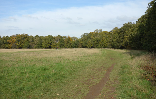
Image: © Des Blenkinsopp Taken: 30 Oct 2019
Bulstrode Camp is the largest Iron Age site in Buckinghamshire. The earthworks are hidden under a line of woodland and the interior is a grassy meadow. The line of the walls around the north east section is shown here.
Images are licensed for reuse under creativecommons.org/licenses/by-sa/2.0
Image Location
Latitude
51.583415
Longitude
-0.563738