Bulstrode Camp Interior
Introduction
The photograph on this page of Bulstrode Camp Interior by Des Blenkinsopp as part of the Geograph project.
The Geograph project started in 2005 with the aim of publishing, organising and preserving representative images for every square kilometre of Great Britain, Ireland and the Isle of Man.

There are currently over 7.5m images from over 14,400 individuals and you can help contribute to the project by visiting https://www.geograph.org.uk
Bulstrode Camp Interior
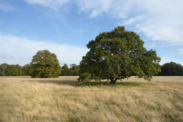
Image: © Des Blenkinsopp Taken: 30 Oct 2019
Bulstrode Camp is the largest Iron Age fort in Buckinghamshire. Originally in quite a dominating position, it is now surrounded by suburban housing and is more of a local park than a notable antiquity. The circular fortifications are covered with trees as seen in the distance. The interior is a grassy meadow as shown here. The name Bulstrode, first recorded as ‘Burstrod’, derives from the Anglo-Saxon for “the marsh belonging to the fort” More information on http://gerrardscross.gov.uk/bulstrode-camp/ Regarding access, the approach is via a gated estate with Private Road, Residents Only notices, but that seems to be aimed at vehicles. On foot the fort is a short walk off Dukes Head Drive and then along a footpath between two houses.
Images are licensed for reuse under creativecommons.org/licenses/by-sa/2.0
Image Location
Latitude
51.582716
Longitude
-0.565348