The Gardens, Clarendon Quarter, St John's Road, Burley, Leeds
Introduction
The photograph on this page of The Gardens, Clarendon Quarter, St John's Road, Burley, Leeds by Stephen Craven as part of the Geograph project.
The Geograph project started in 2005 with the aim of publishing, organising and preserving representative images for every square kilometre of Great Britain, Ireland and the Isle of Man.

There are currently over 7.5m images from over 14,400 individuals and you can help contribute to the project by visiting https://www.geograph.org.uk
The Gardens, Clarendon Quarter, St John's Road, Burley, Leeds
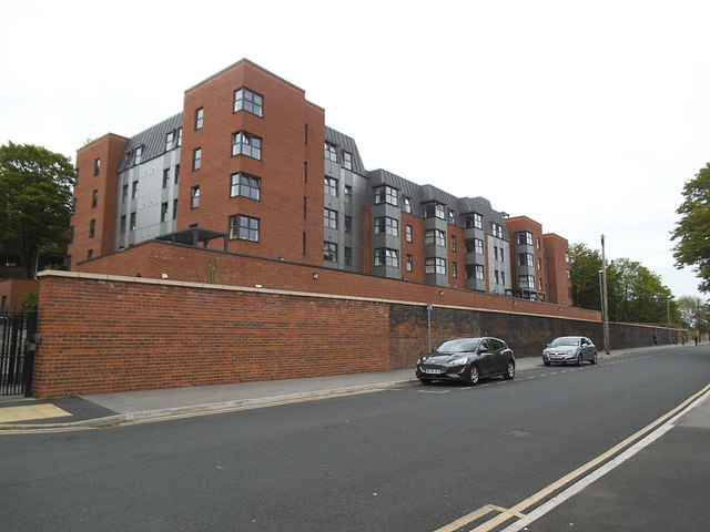
Image: © Stephen Craven Taken: 17 May 2019
According to its website, Clarendon Quarter is "a scheme that provides a mix of studio, 1 and 2 bed apartments, with a residents gym, laundry room and club lounge." And this is student accommodation - how things have changed from the days of college rooms and shared digs!
Images are licensed for reuse under creativecommons.org/licenses/by-sa/2.0
Image Location
Latitude
53.803931
Longitude
-1.562817