Mud and St Saviour's Dock
Introduction
The photograph on this page of Mud and St Saviour's Dock by John Sutton as part of the Geograph project.
The Geograph project started in 2005 with the aim of publishing, organising and preserving representative images for every square kilometre of Great Britain, Ireland and the Isle of Man.

There are currently over 7.5m images from over 14,400 individuals and you can help contribute to the project by visiting https://www.geograph.org.uk
Mud and St Saviour's Dock
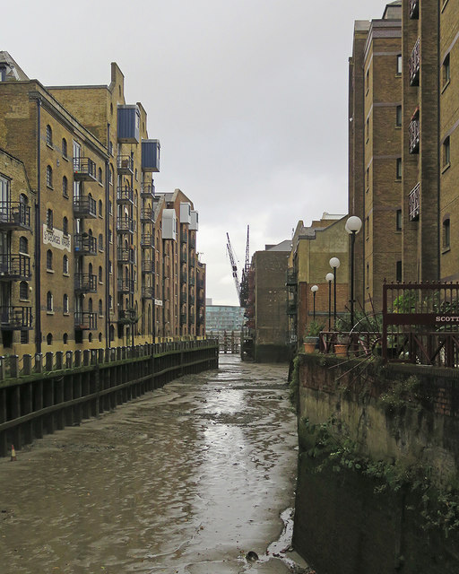
Image: © John Sutton Taken: 2 Nov 2019
A telephoto shot from Jamaica Road. The road approach to the former warehouses on the left is Shad Thames, to those on the right Mill Street.
Images are licensed for reuse under creativecommons.org/licenses/by-sa/2.0
Image Location


Leaflet Map data © OpenStreetMap
Latitude
51.501371
Longitude
-0.072125