Ordnance Survey Fundamental Benchmark
Introduction
The photograph on this page of Ordnance Survey Fundamental Benchmark by Peter Wood as part of the Geograph project.
The Geograph project started in 2005 with the aim of publishing, organising and preserving representative images for every square kilometre of Great Britain, Ireland and the Isle of Man.

There are currently over 7.5m images from over 14,400 individuals and you can help contribute to the project by visiting https://www.geograph.org.uk
Ordnance Survey Fundamental Benchmark
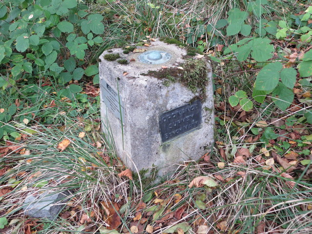
Image: © Peter Wood Taken: 13 Oct 2019
This can be found on land beside the A93 near to Cordach. The benchmark's recorded height is 93.9 metres above sea level. For more detail see : https://www.bench-marks.org.uk/bm1001
Images are licensed for reuse under creativecommons.org/licenses/by-sa/2.0
Image Location
Latitude
57.071164
Longitude
-2.657989