Towards Stoford
Introduction
The photograph on this page of Towards Stoford by Derek Harper as part of the Geograph project.
The Geograph project started in 2005 with the aim of publishing, organising and preserving representative images for every square kilometre of Great Britain, Ireland and the Isle of Man.

There are currently over 7.5m images from over 14,400 individuals and you can help contribute to the project by visiting https://www.geograph.org.uk
Towards Stoford
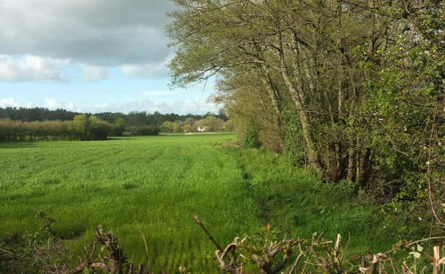
Image: © Derek Harper Taken: 27 Apr 2019
From the A37 at Key Bridge, which is over a tributary of the Sutton Bingham Stream that follows the trees on the right. The houses in the distance are in Image
Images are licensed for reuse under creativecommons.org/licenses/by-sa/2.0
Image Location
Latitude
50.917468
Longitude
-2.628436