Croston Drive, Rufford
Introduction
The photograph on this page of Croston Drive, Rufford by Stephen McKay as part of the Geograph project.
The Geograph project started in 2005 with the aim of publishing, organising and preserving representative images for every square kilometre of Great Britain, Ireland and the Isle of Man.

There are currently over 7.5m images from over 14,400 individuals and you can help contribute to the project by visiting https://www.geograph.org.uk
Croston Drive, Rufford
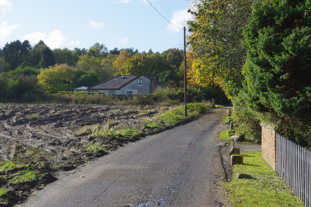
Image: © Stephen McKay Taken: 29 Oct 2019
This is a private road, leading to a number of residential properties, and a public bridleway. It skirts the northern edge of woodland surrounding Rufford New Hall.
Images are licensed for reuse under creativecommons.org/licenses/by-sa/2.0
Image Location
Latitude
53.644621
Longitude
-2.820742