Path along the esker, Evanton Community Wood
Introduction
The photograph on this page of Path along the esker, Evanton Community Wood by Julian Paren as part of the Geograph project.
The Geograph project started in 2005 with the aim of publishing, organising and preserving representative images for every square kilometre of Great Britain, Ireland and the Isle of Man.

There are currently over 7.5m images from over 14,400 individuals and you can help contribute to the project by visiting https://www.geograph.org.uk
Path along the esker, Evanton Community Wood
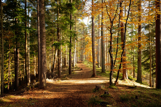
Image: © Julian Paren Taken: 31 Oct 2019
The esker lies close to the edge of the wood and catches the sun around the middle of the day.
Images are licensed for reuse under creativecommons.org/licenses/by-sa/2.0
Image Location
Latitude
57.665151
Longitude
-4.350686