B6438 - Warndon Villages
Introduction
The photograph on this page of B6438 - Warndon Villages by Chris Allen as part of the Geograph project.
The Geograph project started in 2005 with the aim of publishing, organising and preserving representative images for every square kilometre of Great Britain, Ireland and the Isle of Man.

There are currently over 7.5m images from over 14,400 individuals and you can help contribute to the project by visiting https://www.geograph.org.uk
B6438 - Warndon Villages
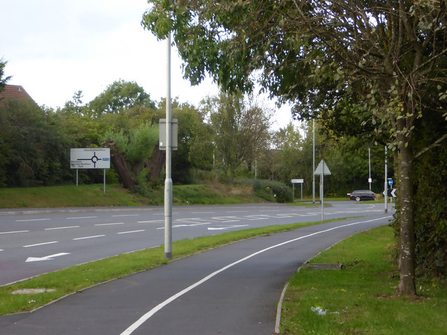
Image: © Chris Allen Taken: 6 Oct 2019
Looking towards the roundabout where the B6439 passes across with the M5 to the right and Blackpole to the left. This road is the spine through Warndon Villages and in the opposite direction ends opposite the entrance to Worcestershire royal Hospital.
Images are licensed for reuse under creativecommons.org/licenses/by-sa/2.0
Image Location
Latitude
52.211802
Longitude
-2.179383