Formerly the Bell, Willingale
Introduction
The photograph on this page of Formerly the Bell, Willingale by Robin Webster as part of the Geograph project.
The Geograph project started in 2005 with the aim of publishing, organising and preserving representative images for every square kilometre of Great Britain, Ireland and the Isle of Man.

There are currently over 7.5m images from over 14,400 individuals and you can help contribute to the project by visiting https://www.geograph.org.uk
Formerly the Bell, Willingale
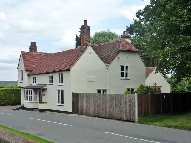
Image: © Robin Webster Taken: 28 Jul 2012
It closed as a pub in 1988. A tablet in the end wall shows that it was an Ind Coope house at some stage. A grade II listed building, 16th and 17th centuries.
Images are licensed for reuse under creativecommons.org/licenses/by-sa/2.0
Image Location
Latitude
51.74202
Longitude
0.311099