Rainford Linear Park
Introduction
The photograph on this page of Rainford Linear Park by David Dixon as part of the Geograph project.
The Geograph project started in 2005 with the aim of publishing, organising and preserving representative images for every square kilometre of Great Britain, Ireland and the Isle of Man.

There are currently over 7.5m images from over 14,400 individuals and you can help contribute to the project by visiting https://www.geograph.org.uk
Rainford Linear Park
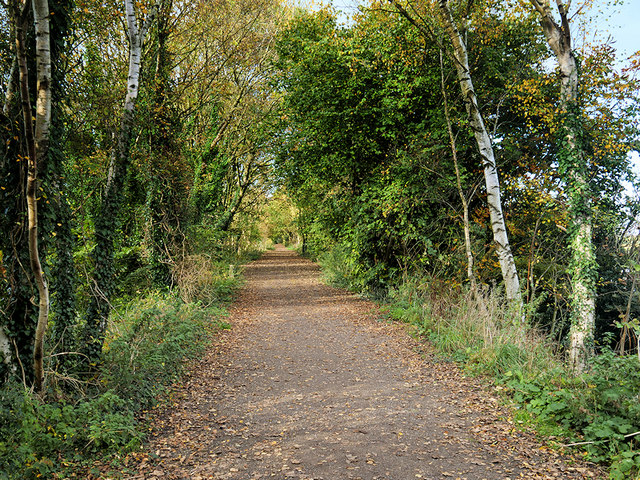
Image: © David Dixon Taken: 28 Oct 2019
The railway line between St Helens and Rainford Junction finally closed in 1964, when the lines north of Mill Lane were lifted. Much of the railway's route through Rainford has been converted to a 'linear park'. Effectively a footpath and cycleway.
Images are licensed for reuse under creativecommons.org/licenses/by-sa/2.0
Image Location
Latitude
53.507935
Longitude
-2.7896