Pentre Pontynyswen / Pontynyswen Village
Introduction
The photograph on this page of Pentre Pontynyswen / Pontynyswen Village by Alan Richards as part of the Geograph project.
The Geograph project started in 2005 with the aim of publishing, organising and preserving representative images for every square kilometre of Great Britain, Ireland and the Isle of Man.

There are currently over 7.5m images from over 14,400 individuals and you can help contribute to the project by visiting https://www.geograph.org.uk
Pentre Pontynyswen / Pontynyswen Village
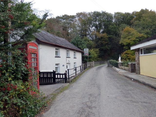
Image: © Alan Richards Taken: 30 Oct 2019
Heol yn agosau at Bontynyswen sy'n rhychwantu Afon Cothi. Ychydig iawn o anhedd-dai sydd yn y pentre. A road approaching Pontynyswen (trans. bridge of the fair river meadow) which spans the Afon Cothi. The village comprises of only a handful of properties.
Images are licensed for reuse under creativecommons.org/licenses/by-sa/2.0
Image Location


Leaflet Map data © OpenStreetMap
Latitude
51.903119
Longitude
-4.13726