Stoneygate, Preston
Introduction
The photograph on this page of Stoneygate, Preston by Stephen McKay as part of the Geograph project.
The Geograph project started in 2005 with the aim of publishing, organising and preserving representative images for every square kilometre of Great Britain, Ireland and the Isle of Man.

There are currently over 7.5m images from over 14,400 individuals and you can help contribute to the project by visiting https://www.geograph.org.uk
Stoneygate, Preston
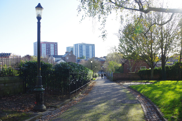
Image: © Stephen McKay Taken: 29 Oct 2019
Stoneygate leads down from Church Street adjacent to the parish church. The name is also used for the immediate area which is currently the subject of a regeneration plan.
Images are licensed for reuse under creativecommons.org/licenses/by-sa/2.0
Image Location
Latitude
53.757945
Longitude
-2.695997