Near Whiteford
Introduction
The photograph on this page of Near Whiteford by Anne Burgess as part of the Geograph project.
The Geograph project started in 2005 with the aim of publishing, organising and preserving representative images for every square kilometre of Great Britain, Ireland and the Isle of Man.

There are currently over 7.5m images from over 14,400 individuals and you can help contribute to the project by visiting https://www.geograph.org.uk
Near Whiteford
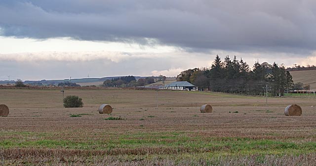
Image: © Anne Burgess Taken: 29 Oct 2019
A field with a few bales still remaining. The white building is Logie Durno Village Hall.
Images are licensed for reuse under creativecommons.org/licenses/by-sa/2.0
Image Location
Latitude
57.326719
Longitude
-2.471453