Pitscurry Project
Introduction
The photograph on this page of Pitscurry Project by Anne Burgess as part of the Geograph project.
The Geograph project started in 2005 with the aim of publishing, organising and preserving representative images for every square kilometre of Great Britain, Ireland and the Isle of Man.

There are currently over 7.5m images from over 14,400 individuals and you can help contribute to the project by visiting https://www.geograph.org.uk
Pitscurry Project
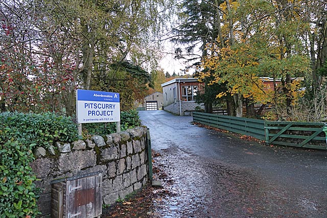
Image: © Anne Burgess Taken: 29 Oct 2019
The Pitscurry Project provides work and training for people with learning difficulties. It includes a garden and a popular café.
Images are licensed for reuse under creativecommons.org/licenses/by-sa/2.0
Image Location
Latitude
57.326706
Longitude
-2.450528