Mancunian Way flyover
Introduction
The photograph on this page of Mancunian Way flyover by Gerald England as part of the Geograph project.
The Geograph project started in 2005 with the aim of publishing, organising and preserving representative images for every square kilometre of Great Britain, Ireland and the Isle of Man.

There are currently over 7.5m images from over 14,400 individuals and you can help contribute to the project by visiting https://www.geograph.org.uk
Mancunian Way flyover
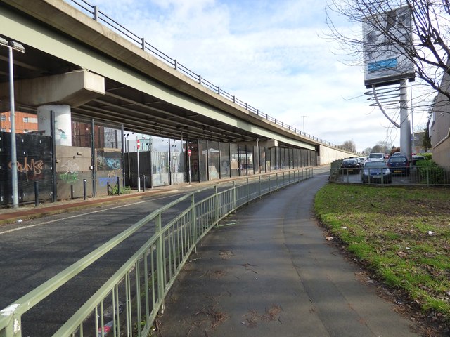
Image: © Gerald England Taken: 21 Feb 2019
On the left is the Mancunian Way with a skateboard park underneath it. The road beside it is the end of the westbound A635 which meets the A6 behind the camera. There is a slight dispute as to whether this section of the Mancunian Way is the A57(M) or the A635(M).
Images are licensed for reuse under creativecommons.org/licenses/by-sa/2.0
Image Location
Latitude
53.473652
Longitude
-2.228811