Werg's Barn near Inkpen
Introduction
The photograph on this page of Werg's Barn near Inkpen by Pam Brophy as part of the Geograph project.
The Geograph project started in 2005 with the aim of publishing, organising and preserving representative images for every square kilometre of Great Britain, Ireland and the Isle of Man.

There are currently over 7.5m images from over 14,400 individuals and you can help contribute to the project by visiting https://www.geograph.org.uk
Werg's Barn near Inkpen
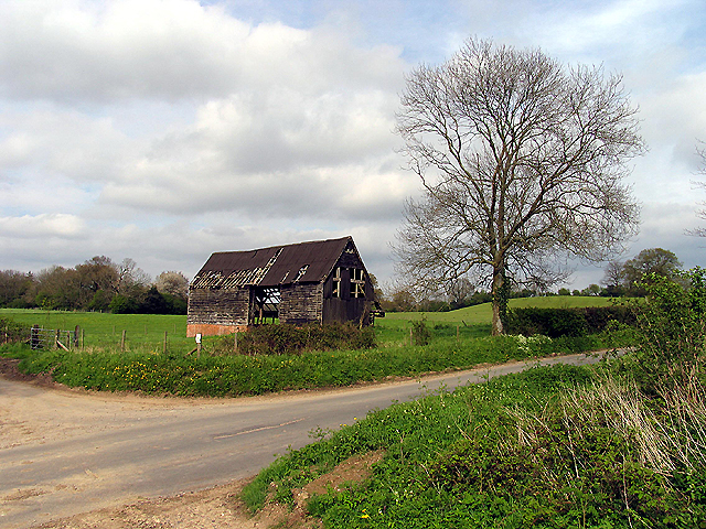
Image: © Pam Brophy Taken: 29 Apr 2005
This derelict barn is situated in the middle of the upper half of the grid square at the intersection.
Images are licensed for reuse under creativecommons.org/licenses/by-sa/2.0
Image Location


Leaflet Map data © OpenStreetMap
Latitude
51.369394
Longitude
-1.477058