Blackhall Mill bridge
Introduction
The photograph on this page of Blackhall Mill bridge by Robert Graham as part of the Geograph project.
The Geograph project started in 2005 with the aim of publishing, organising and preserving representative images for every square kilometre of Great Britain, Ireland and the Isle of Man.

There are currently over 7.5m images from over 14,400 individuals and you can help contribute to the project by visiting https://www.geograph.org.uk
Blackhall Mill bridge
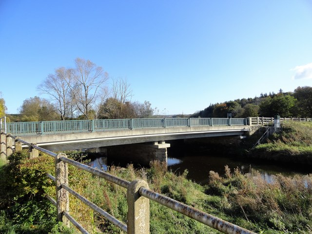
Image: © Robert Graham Taken: 28 Oct 2019
This bridge was built in 2001 to replace an earlier one. It carries the road from the main A694 across the river Derwent to the village and up to Chopwell.
Images are licensed for reuse under creativecommons.org/licenses/by-sa/2.0
Image Location
Latitude
54.906043
Longitude
-1.812352